In their new article, Martin, Anto and Age highlight how long-term GPS data can benefit public transport planning by providing unique insights into actual observed mobility patterns. This knowledge can be harnessed to design transport systems that are both efficient and highly accessible for users.
Transport planning has traditionally relied on short-term travel surveys, which do not provide info on long-term travel patterns. GPS data, however, offers a powerful alternative. Using the MobilityLog smartphone app developed by our lab, GPS data from 93 residents in Tallinn was collected over the course of three months. The dataset reveals where people travel most frequently, providing strong evidence for improving transport connections.
A Novel GPS-Based Approach
A key contribution of the study is its innovative method for identifying trips and destinations from continuous raw GPS traces without requiring participants to fill in surveys. The approach breaks GPS data into two-minute segments and applies spatial and temporal thresholds to distinguish movement from stationary episodes. This means travel behaviour can be captured and analysed automatically, reducing the burden on participants while improving accuracy.
Capturing Temporal Variation in Public Transport
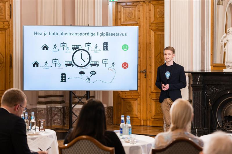
Most accessibility studies focus narrowly on peak-hour conditions as this is usually when public transport accessibility is highest. This creates an overly optimistic picture of accessibility. This study analysed variability in travel times across the entire day, revealing how much accessibility can fluctuate. For suburban residents especially, infrequent services mean that while some destinations may be technically reachable, they are not consistently accessible throughout the day.
Unequal Accessibility: Kalamaja vs. Priisle
The research compared two contrasting neighbourhoods in Tallinn:
Kalamaja (Inner-city):
- 86.5% of destinations reachable within 30 minutes at least once daily
- 74.6% consistently accessible throughout the day
- Median travel distance: 1.9 km
Priisle (Outer areas of city):
- 64.2% of destinations reachable within 30 minutes
- 33.2% consistently accessible throughout the day
- Median travel distance: 5.3 km

Key Takeaways for Transport Planning
- Leverage smartphone mobility data — GPS-based insights reveal where people actually travel, enabling planners to design services around real demand rather than assumptions.
- Accessibility is time-dependent — ignoring daily variability can misrepresent users’ true experience of the network.
- Faster, more direct services matter — network design and frequency play a decisive role in expanding access to key destinations.
Looking Ahead: Data-Driven and Equitable Mobility
This research demonstrates the potential of mobile-phone based datasets in shaping sustainable, user-centered transport systems. By combining GPS-based mobility insights with network analysis, cities can:
- Detect gaps between travel demand and service supply
- Optimize routes based on real travel patterns
- Evaluate service changes over time
- Promote equity by ensuring all neighborhoods have fair access to destinations
The findings shows that by aligning transport services with real travel patterns, planners can create systems that are both more efficient and fairer for all users.
The full article, “Assessing public transport accessibility using GPS data”, is available open access in the European Transport Research Review.

The Mobility Lab of the University of Tartu is an interdisciplinary research group that studies human mobility and its associations with society and the environment using mobile (big) data.
